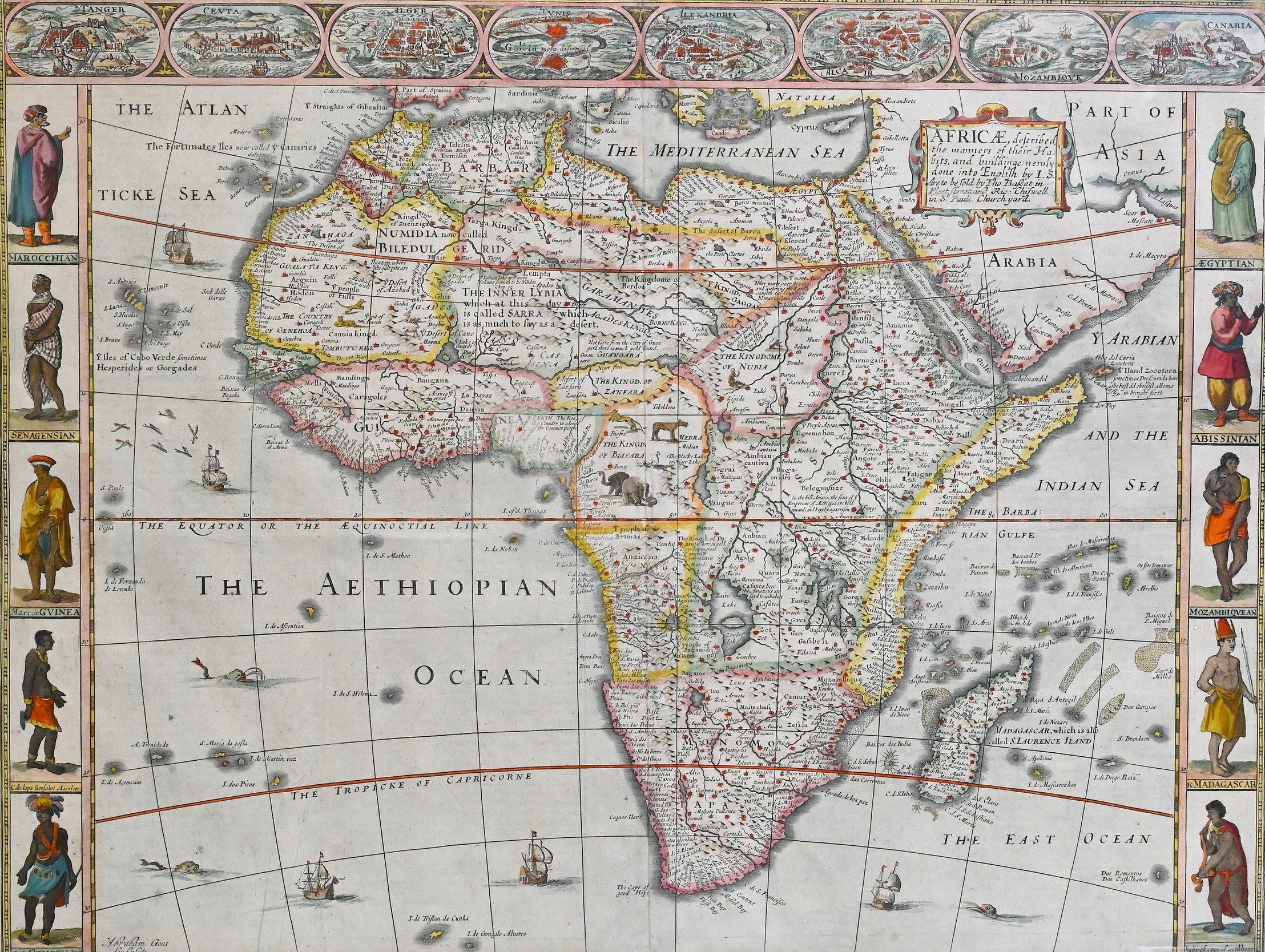

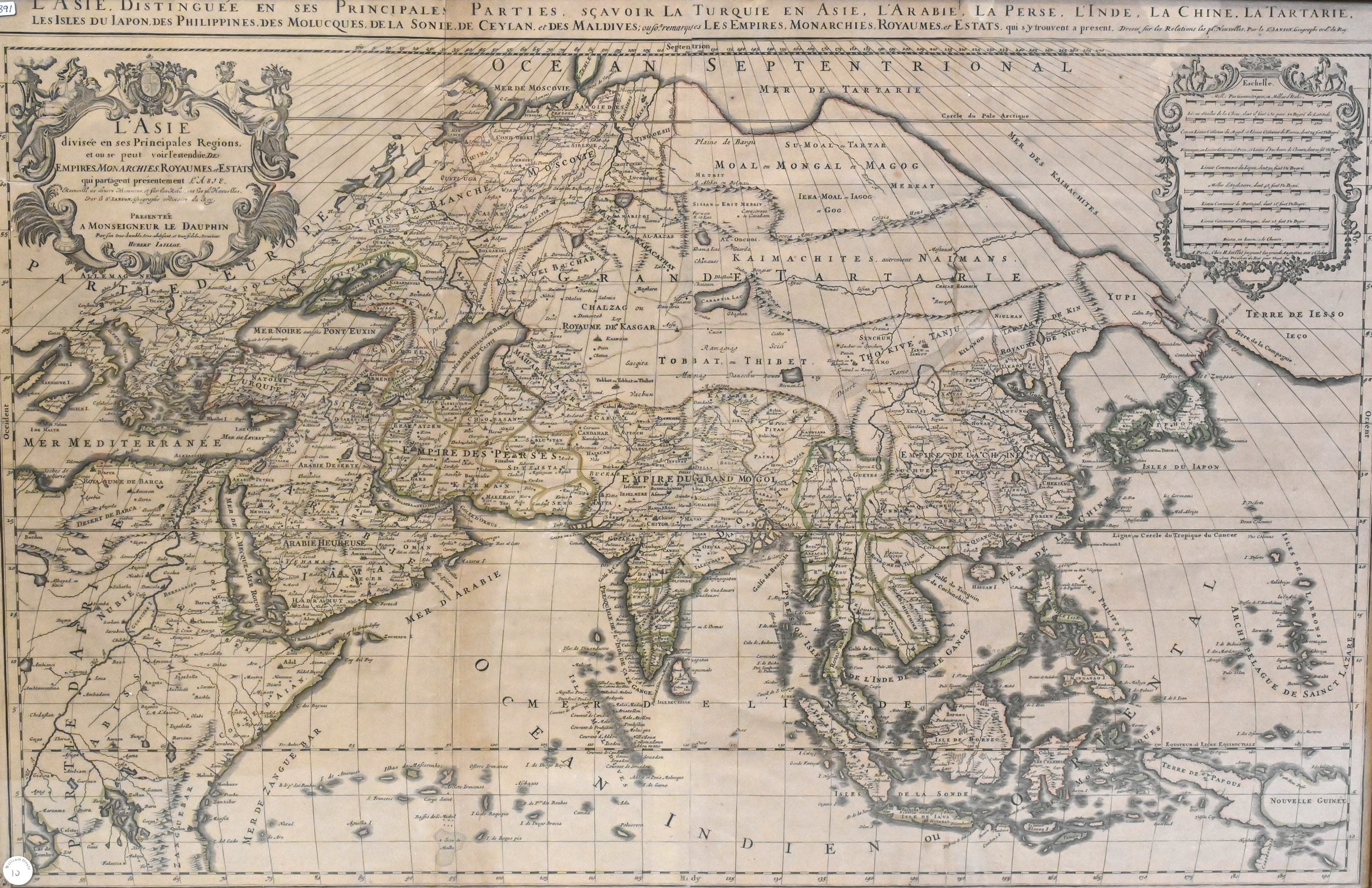






Thomas Kitchin (English, 1718–1784) Engraved Map
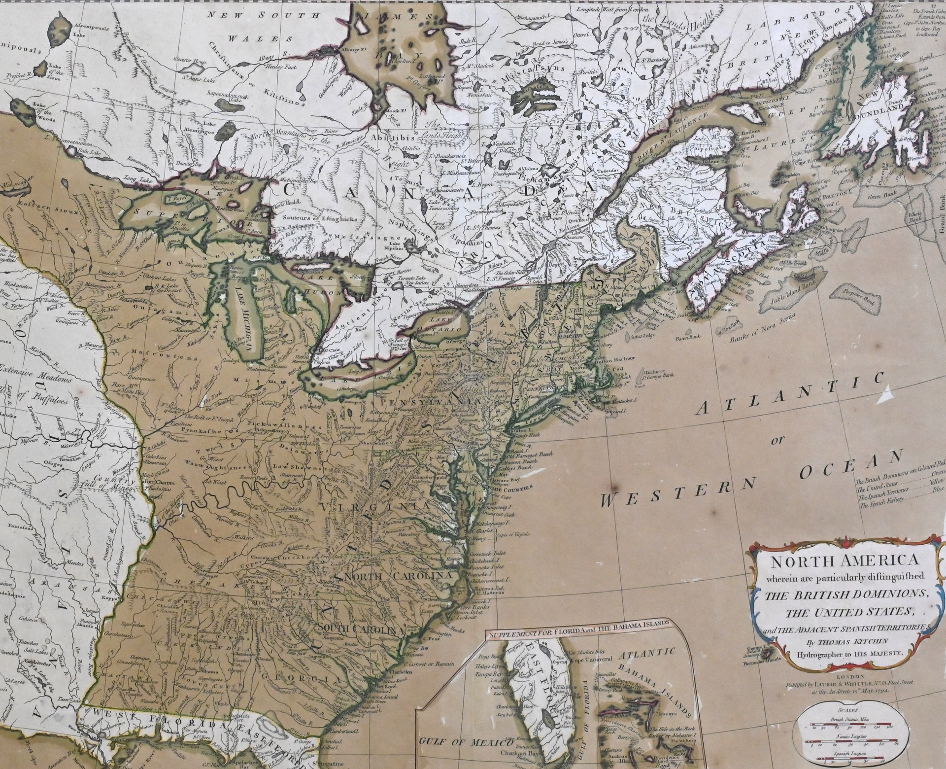
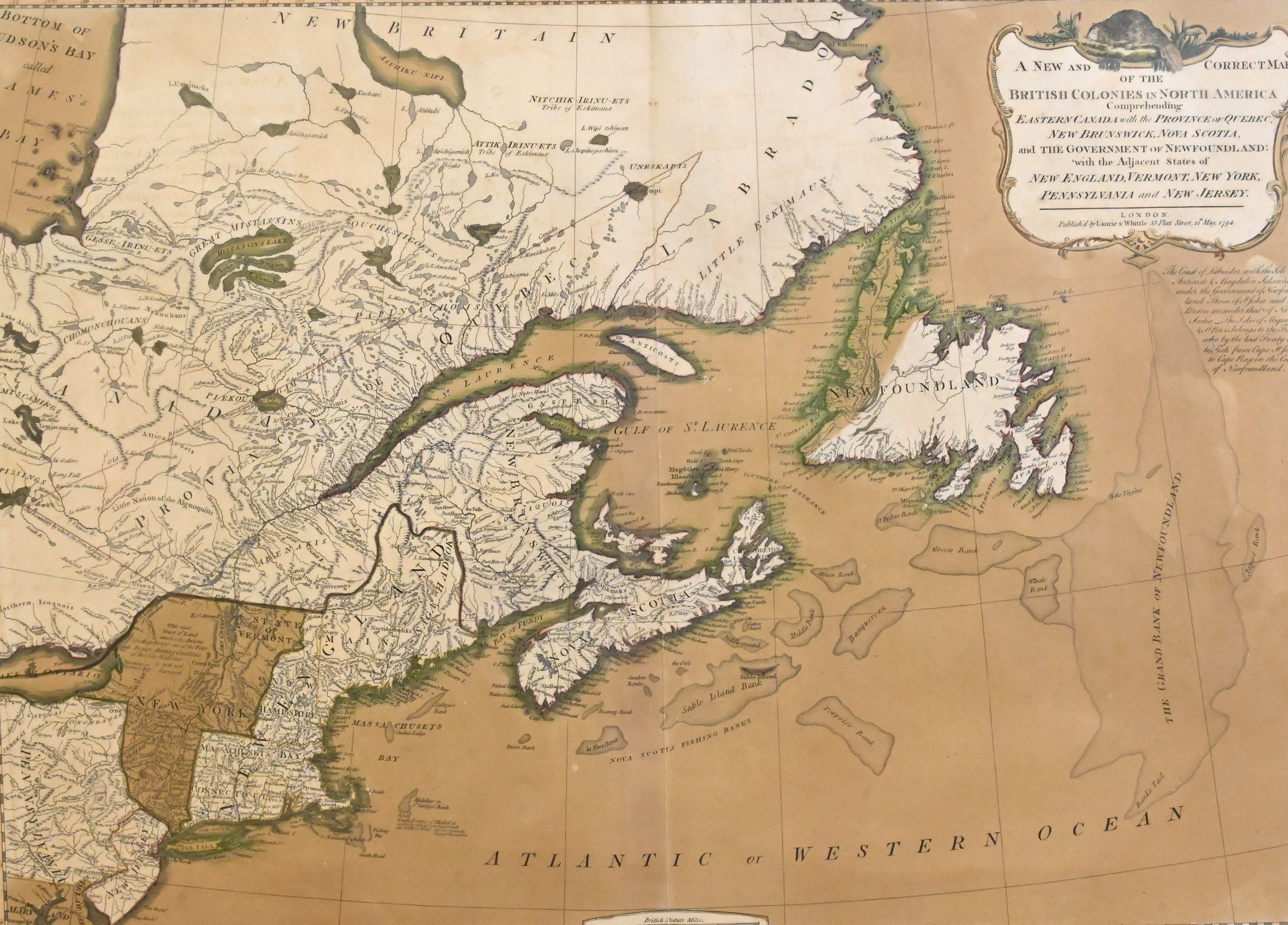
“North America Wherein Are Particularly Distinguished the British Dominions, the United States, and the Adjacent Spanish Territories”, 1794
Hand-colored engraved map of eastern North America, published by Laurie & Whittle, second state depicting the United States, British Canada, and adjacent Spanish territories following the American Revolution, with detailed political boundaries, waterways, and geographic features. Dated 1794
17 1/2″ x 21 1/2″ sight
Provenance: Property from a Private Collection
Purchased B.C. Carlitz 121 S. 18th St., Philadelphia, 10/18/1962
Estimate: $300 - $500